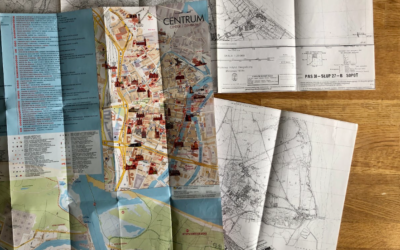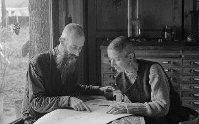
What does it feel like to arrive in Vienna and find that the city’s water starts in the snow of a distant mountain? What inspired DEAR HUNTER? Read on to find out. This is their story of arriving, wandering uphill, and getting inspired to make the map.
There’s a particular kind of silence that sits above a mountain range. Maybe that’s why we always feel attracted to mountainous regions. Curious for Vienna, but also for its surroundings, we came to Vienna expecting questions about climate and water, as we had in Gdańsk. Instead, we found ourselves exploring the city’s water supply, leading us to.. what do you think? Into the nearby mountains. What luck!
The city’s drinking water system is legendary: 150 years old, gravity-fed, drawing crystal-clear spring water from mountains 100 kilometres away without a single pump. Most Viennese speak of it with enormous pride. But beneath the pride we discovered quite a complexity that reveals itself only on closer inspection.
We hiked the Wienerwald already in the first week of our stay, where snow lingers into early October after September floods tore through Central Europe. A week later, we even travelled a bit further. At 2,076 metres, the Schneeberg marks the highest point of the First Vienna Mountain Spring Pipeline. There, traces of winter remain even as autumn settles. It’s easy to romanticise this system: the magic of water taking 8 hours to 30 years to percolate through rock, emerging pure at the Kaiserbrunnen, flowing 24 hours to the Wasserspeicher Rosenhügel, then down through 31 unique reservoirs across the city by gravity alone. Wiener Wasser, the organisation responsible for the drinking water in Vienna, showed us around wherever we wanted to.
Here’s what we learned, and what our map only reveals after a good read: only 3% of available spring water is currently used. Ten percent of drinking water comes from groundwater: pumped, energised, filtered through soil rather than mountain rock. In Seestadt, the district where we stayed for a month and that’s still under construction, we saw fountains overflowing on windy days, water we celebrate so dearly sliding across asphalt into sewers. The city grows, consuming 20 litres less per resident than decades ago, yet needing more overall. It’s a paradox of progress: efficiency gains swallowed by expansion.
The Asperner Lake, the central element of Seestadt, holds another surprise. Crystal-clear, perfect for swimming, fed by natural groundwater flow that keeps it cool even in summer heat. Rain falls over the Schneeberg or over Seestadt. Doesn’t all precipitation eventually become groundwater anyway? The distinction between spring and groundwater blurs depending on your perspective. And in the case of our map, also which side of it you’re turning upward.
The pipeline and its aqueducts certainly impress. However, it was the tension between certainty and uncertainty that permeates everything here. Proper forest management is essential. Cut too many trees, and the supply risks. Traditional grazing rights persist even on land the city owns. Thirty-one reservoirs, each unique.
Vienna has 1,500 public fountains, more than all of Germany, reportedly. Yet friction slumbers over whether the city takes water that belongs elsewhere. Pride in the landscape ties inextricably to pride in the water, and (in the end) is also political, we felt.
For Turning the Tide, Vienna poses a different question than Gdańsk. Where the Polish city and its region steadily work on visible interventions at the waterfront, pushing defence outward to peripheries, Vienna’s system reaches backward: to mountains, valleys, ancient geological work performed slowly beneath feet we rarely notice walking upon. The real pressure isn’t rising sea levels here, but the quiet arithmetic of growth against finite sources.
Closely reading the map of Vienna reveals less about engineering triumph and more about how such a ‘sublime’ system also can make blind: water taking decades to emerge, political choices leading to exclusion and inclusion, and a widespread and hardening myth about ‘dirty’ groundwater.
Over the coming posts, we’ll move through Evia and Stockholm, finally returning to the atlas itself, and what these four locations together might teach us about water, climate, and the work of transformation.