What does it feel like to cross burnt land on Evia and find yellow flowers, beehives and new roofs coming back? What inspired DEAR HUNTER? Read on to find out. This is their story of arriving, witnessing, and getting inspired to make the map.
We’re in Mytikas, south of Chalkis on the island Evia. A dry riverbed stretches before us, cracked earth where water should flow. The banks, left and right, are reinforced with concrete, but the Lilas river itself remains silent. “Ah, the dry river,” locals tell us. “It only flows for a few days a year.” When it does, they add, it comes in force. The image stays with us: absence that occasionally returns as destruction.
We’d heard about the fires before arriving. Devastating, on a scale we’d never witnessed. But nothing prepares you for walking through land where pine forests once stood, now just charred remains stretching toward the horizon. Between 46,000 and 74,000 hectares, they estimate. Many people we meet say the fires were no accident. That they fit into a broader plan where local needs are subordinate to economic logic. Driving through these areas, we simply couldn’t say a word.
The damage itself is impressive. To some, how quickly plans appeared while the trees were still smouldering is even more impressive. Reconstruction proposals ready before the full scale became clear. Tourism zones here, co-working hubs there, industry elsewhere. The landscape, once understood as an integrated whole, divided into functions and sectors.
Along the mountain ridges, wind turbines multiply. Over 500 now, according to what we counted on Mount Telethrio alone. Large, white, efficient, but designed and produced elsewhere, by companies from Germany or Denmark. The electricity isn’t for Evia, one resident told us, but for the national grid. Evia as the battery of Greece. It’s these exact words she used. We got goosebumps when she spoke, so calm and at the same time full of anger and powerlessness.
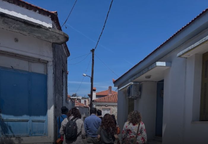
Yet there’s also resilience. In Kokkinomilia, where stone buildings still stand roofless, others show freshly tiled roofs: bright terracotta tones like quiet, hopeful signs of new beginnings. Around Agia Anna, yellow flowers explode across burnt ground. Bees and butterflies have already found their way there.
Locals tell us about goatherds moving small herds across the landscape, moving with the land and seasons. We ourselves found beehives all across the island, scaled to what one or two people could manage. Olive groves form a patchwork across the terrain, following contours in ways that feel both natural and precise.
In Limni, a small detail attracts our attention: a wooden board sliding between steel brackets at a front door. Ready to hold back water if it rushes through the street again. In Rovies, the river runs enclosed in concrete and steel through the village centre. When we visited it, there was not a single drop to be found.
What we’re witnessing feels like two worlds emerging, and clashing. Not old versus new, but fundamentally different ways of relating to place. On one side, wind turbines slicing through terrain like rulers imposed on jagged landscapes. On the other, beehives, olive patches, seasonal readiness at beaches where parasols are already set up.
On a hot day, we soaked in the healing waters at Edipsos where Roman emperors once came to relax, now freely accessible where springs flow directly into the sea. We couldn’t resist taking a dip ourselves and thought about this dilemma of ‘progress’ and ‘at whose expense’. Can small-scale, democratic and accessible (like these springs) still exist in a world that seems obsessed with ‘progress’, growth and efficiency?
Over the coming posts, we’ll move through Stockholm, finally returning to the atlas itself and what these four locations together might teach us about water, climate, and maybe democracy, too.